Welcome to NEC Company

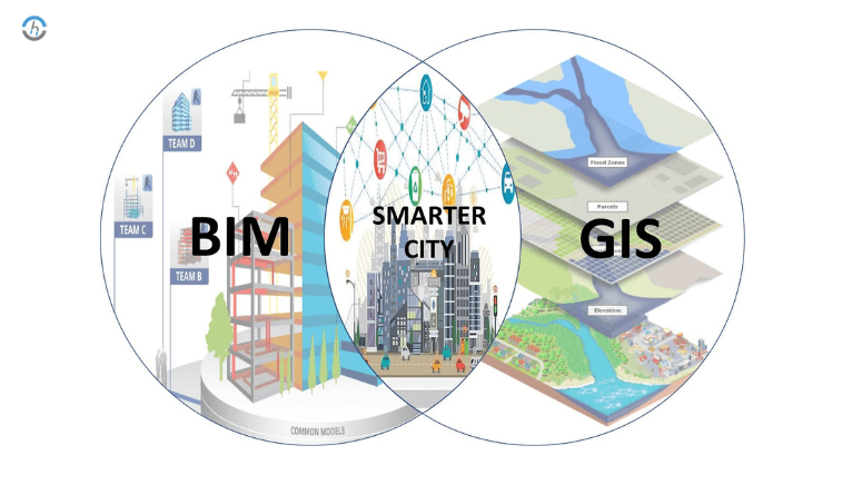
Geographic Information Systems (GIS)
A system that combines maps and data to analyze locations and spatial relationships.
Components of GIS:
- Spatial Data (location)
- Attribute Data (information about the location)
- Software (e.g., ArcGIS, QGIS)
- Hardware (computers, GPS devices)
- People (GIS specialists)
- Methods (procedures and workflows)
Main Applications:
- Engineering: Infrastructure design
- Environment: Pollution tracking, resource management
- Urban Planning: Land use and development
- Agriculture: Precision farming
- Disaster Management: Risk analysis and emergency response